Description
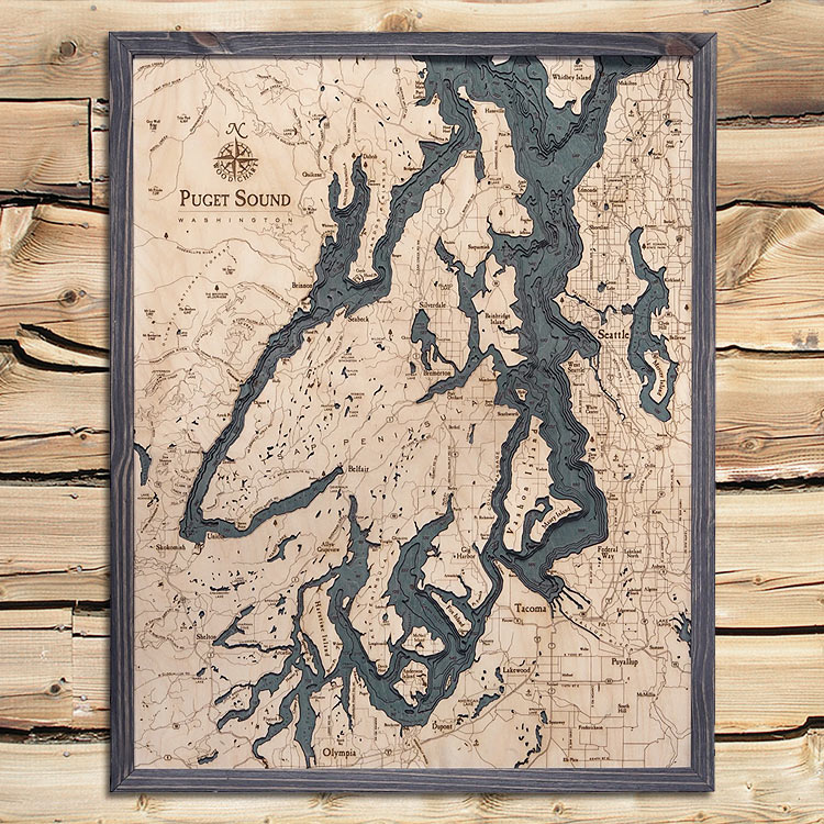
Puget Sound Wood Map | 3D Topographic Wood Chart
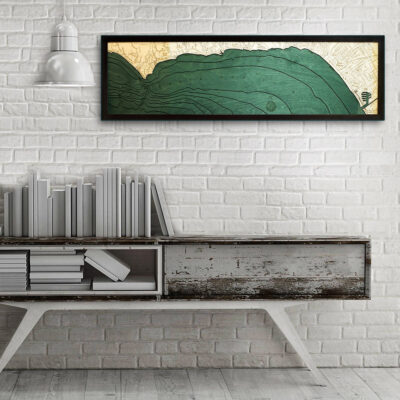
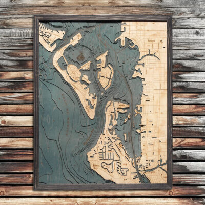
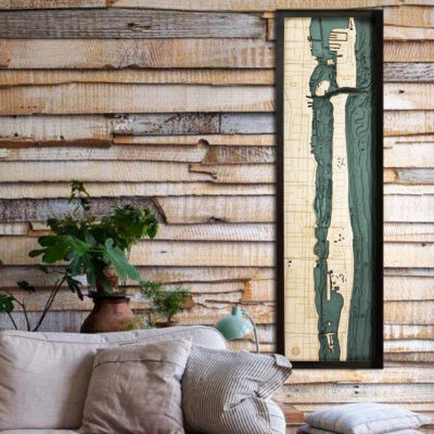
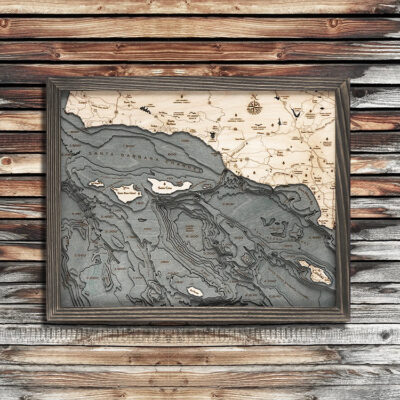
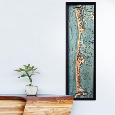
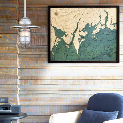
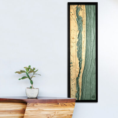
Meticulously finished, the natural wooden grain of the Baltic Birch really stands out and brings this nautical work of art to life. This unique 3d rendition of The Puget Sound is the perfect way to commemorate your favorite waterway.
– 24.5″ x 31″
– Solid Wood Frame
– Ships ready to hang!
Click here to learn more
- American Lake WA
- Anderson Island WA
- Annas Bay WA
- Appletree Cove WA
- Arcadia WA
- Bainbridge Island WA
- Bay Lake WA
- Belfair WA
- Belfair State Park WA
- Bellevue WA
- Bermerton WA
- Big Creek WA
- Bit Fishtrap WA
- Blake Island WA
- Blakely Harbor WA
- Bolton Peninsula WA
- Browns Point Lighthouse WA
- Budd Inlet WA
- Burley Lagoon WA
- Carr Inlet WA
- Case Inlet WA
- Chapman Cove WA
- Chico Bay WA
- Clark Cr. WA
- Colvos Passage WA
- Dabob Bay WA
- Deer Lake WA
- Des Moines WA
- Devereaux Lake WA
- Devils Head WA
- Dewatto Bay WA
- Duckabush River WA
- Dyes Inlet WA
- Eagle Harbor WA
- Edmonds WA
- Eld Inlet WA
- Elliott Bay WA
- Federal Way WA
- Finch Cr. WA
- Fox Island WA
- Fulton Cr. WA
- Gibson Point WA
- Gig Harbor WA
- Glen Cove WA
- Grapeview WA
- Green Lake WA
- Green River WA
- Hamma Hamma River WA
- Hansvill WA
- Harbor Island WA
- Harstine Island WA
- Henderson Bay WA
- Henderson Inlet WA
- Herron WA
- Hill Cr. WA
- Holly WA
- Hood Canal WA
- Hood Canal Bridge WA
- Isabella Lake WA
- Island Lake WA
- Jackson Cove WA
- Ketron WA
- Key Peninsula WA
- Kingston WA
- Kirkland WA
- Kitsap Lake WA
- Kitsap Peninsula WA
- Lake Cushman WA
- Lake Kokanee WA
- Lake Tapps WA
- Lake Union WA
- Lake Washington WA
- Lakewood WA
- Liberty Bay WA
- Lilliwaup WA
- Lilliwaup Creek WA
- Little Skookum Inlet WA
- Lynch Cove WA
- Manchester WA
- Martha Lake WA
- Mason Lake WA
- Maury Island WA
- McNiel Island WA
- Mercer island WA
- Mill Creek WA
- Miller Bay WA
- Miller Cr. WA
- Miller Lake WA
- Mission Lake WA
- Skokomish Wilderness WA
- Walker Viewpoint WA
- Mukilteo WA
- Murden Cove WA
- West Seabeck Holly Rd. WA
- NE Belfair Tahuya Rd. WA
- Ne Dewatto Holly Rd. WA
- Nisqually Flats WA
- Nisqually River WA
- Olympia WA
- Olympic National Park WA
- Oro Bay WA
- Ostrich Bay WA
- Panther Lake WA
- Point Defiance WA
- Point Fosdick WA
- Point Jefferson WA
- Point Richmond WA
- Point Southworth WA
- Port Gamble WA
- Port Ludlow WA
- Port Madison WA
- Port Orchard WA
- Port Orchard Bay WA
- Possession Sound WA
- Poulsbo WA
- Poverty Bay WA
- President Point WA
- Price Lake WA
- Puyallup WA
- Puyallup Rive WA
- Quartermaster Harbor WA
- Quilcene Bay WA
- Raft Island WA
- Rendsland Creek WA
- Rocky Bay WA
- Saint Edward State Park WA
- Salmon Bay WA
- Seabeck WA
- Seattle WA
- Seaview WA
- Seward Park WA
- Shelton WA
- Sherwood Creek WA
- Shoreling WA
- Silver Lake WA
- Sinclair Inlet WA
- Sisters Point WA
- Siverdale WA
- Skokomish WA
- Skokomish River WA
- Skunk Bay WA
- Spanaway Lake WA
- Spencer Lake WA
- Squamish Harbor WA
- Squaxin Island WA
- Stretch Point WA
- Summit Lake WA
- Sund Cr. WA
- Suquamish WA
- Tacoma WA
- Tahuya Lake WA
- The Brothers Wilderness WA
- Three Tree Point WA
- Tiger Lake WA
- Toandos Peninsula WA
- Totten Inlet WA
- Union WA
- Union Bay WA
- Useless Bay WA
- Vashon Highway WA
- Vashon Island WA
- Vaughn Bay WA
- Whidbey Island WA
- White Center WA
- Whiteman Cove WA
- Wildcat Lake WA
- William Symington Lake WA
- Wonder Mountain Wilderness WA
- Yukon Harbor WA


Hazel L. –
Perfect! Exactly what I was looking for. High quality. Super fast shipping. I’m thrilled to pieces!
Edward G. –
I recently purchased a 3-D Nautical map for my girlfriends dad . I opened the box to see what it looked like before I gave it to him and was amazed on how beautiful and detailed the product was . Very happy with my purchase and the girlfriends dad loves it .