Description
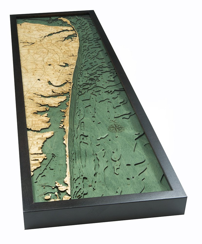
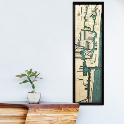
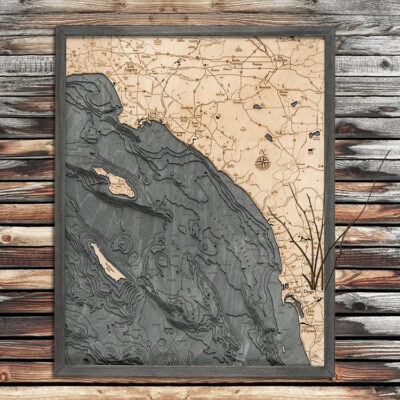
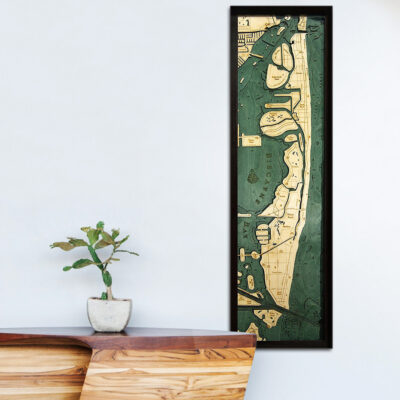
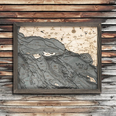
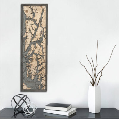
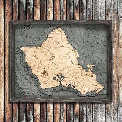
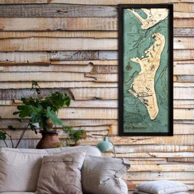
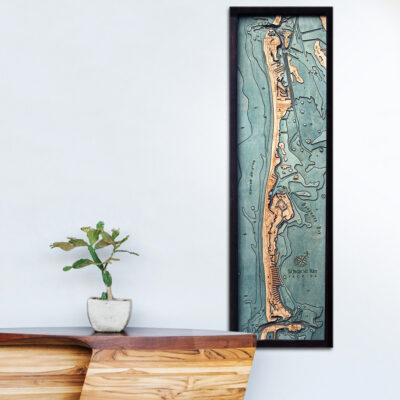
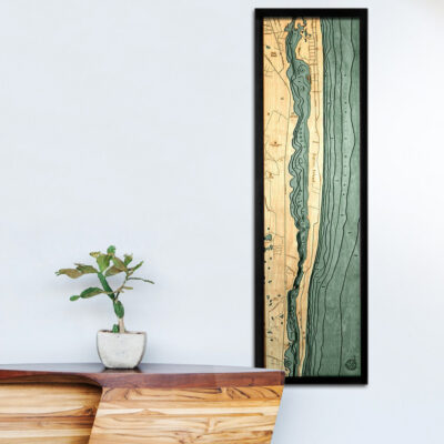
Meticulously finished, the natural wooden grain of the Baltic Birch really stands out and brings this nautical work of art to life. Don’t miss this chance to own a unique 3d map of New Jersey Shore!
– 13.5″ x 43″
– Solid Wood Frame
– Ships ready to hang!
Click here to learn more
- Adamston NJ
- Algers Mills NJ
- Allaire State Park NJ
- Allenhurst NJ
- Allenwood NJ
- Anchorage NJ
- Andrew Point NJ
- Applegate Cove NJ
- Arrowhead Village NJ
- Asbury Ave. NJ
- Asbury Park NJ
- Atlantic Drive NJ
- Atlantic Highlands NJ
- Avon-By-The-Sea NJ
- Barnegat Bay NJ
- Barnegat Bay Estates NJ
- Barnegat Light NJ
- Bay Ave. NJ
- Bay Head NJ
- Bayville NJ
- Beaverdam Creek NJ
- Belford Harbor NJ
- Bellevue Ave. NJ
- Belmar NJ
- Belmar Blvd. NJ
- BLM Airport NJ
- Brick NJ
- Brick Township Reservoir NJ
- Bridge Ave. NJ
- Brielle NJ
- Buena Vista Ave. NJ
- Burnt Tavern Road NJ
- Cedar Creek NJ
- Centerville NJ
- Clam Island NJ
- Claypit Creek NJ
- Compton Creek NJ
- Deal NJ
- Deal Lake NJ
- Deep Cut Gardens NJ
- Double Creek Channel NJ
- Eatontown NJ
- Elberon NJ
- Fair Haven NJ
- False Hook NJ
- False Hook Channel NJ
- Forge Pond NJ
- Fort Hancock NJ
- Gap Cove NJ
- Garden State Parkway NJ
- Gilford Park NJ
- Glendola Reservoir NJ
- Goodluck Point NJ
- Green Grove Road NJ
- Guyon Point NJ
- Harbor Island NJ
- Harmony Road NJ
- Hartshorne Drive NJ
- Havens Cove NJ
- Havens Point NJ
- Herbertsville NJ
- High Bar NJ
- High Bar Island NJ
- Highlands NJ
- Hockhockson Brook NJ
- Hope Road NJ
- Huber Woods NJ
- Husky Brook NJ
- Interlaken NJ
- Island Heights NJ
- Johnny Allens Cove NJ
- Judas Creek NJ
- Jumping Brook NJ
- Keansburg NJ
- Kettle Creek NJ
- Lake Como NJ
- Lake Riveria NJ
- Lavallette NJ
- Leonardo NJ
- Little Sedge Island NJ
- Little Silver NJ
- Little Silver Creek NJ
- Long Branch NJ
- Long Point Island NJ
- Lower Bay NJ
- Manasquan NJ
- Manasquan River NJ
- Mantoloking NJ
- Marlu Lake NJ
- McClees Creek NJ
- Megill Road NJ
- Metedecock River NJ
- Middleton NJ
- Mikes Island NJ
- Mingamahone Brook NJ
- Monmouth Beach NJ
- Monmouth Road NJ
- Natco Lake NJ
- Navesink NJ
- Navesink River NJ
- Neptune City NJ
- Neptune Township NJ
- New Monmouth NJ
- North Atlantic Ocean NJ
- Nut Swamp Brook NJ
- NW Point Island NJ
- Oakhurst NJ
- Ocean Ave. NJ
- Ocean Gate NJ
- Ocean Grove NJ
- Ocean Township NJ
- Oceanport NJ
- Ortley Beach NJ
- Ortley Cove NJ
- Osbornsville NJ
- Oyster Creek Channel NJ
- Parkers Creek NJ
- Phalanx NJ
- Point Pleasant NJ
- Point Pleasant Beach NJ
- Poplar Brook NJ
- Poricy Brook NJ
- Poricy Park NJ
- Port Monmouth NJ
- Potter Creek NJ
- Ramtown NJ
- Raritan Bay East Reach NJ
- Red Bank NJ
- Reedy Creek NJ
- Rumson NJ
- Rumson Road NJ
- Sandy Hook NJ
- Sandy Hook Bay NJ
- Sandy Hook Channel NJ
- Sandy Hook Point NJ
- Scobyville NJ
- Sea Girt NJ
- Sea Bright NJ
- Seaside Heights NJ
- Seaside Park NJ
- Seaweed Point NJ
- Sedge Island NJ
- Shark River NJ
- Shark River Inlet NJ
- Shark River Park NJ
- Shore Road NJ
- Shrewsbury NJ
- Shrewsbury River NJ
- Shrewsbury Township
- Silver Bay NJ
- Silverton NJ
- South Branch Kettle Creek NJ
- Spring Lake NJ
- Spring Lake Heights NJ
- Stockton Lake NJ
- Stouts Creek NJ
- Swan Point NJ
- Swimming River Reservoir NJ
- Thompson Park NJ
- Tices Shoal NJ
- Tilton Point NJ
- Tinton Falls NJ
- Toms River NJ
- Troutmans Creek NJ
- Turtle Mill Brook NJ
- Twilight Lake NJ
- Waackaack Creek NJ
- Wall Township NJ
- Wayside NJ
- Weltz Park NJ
- West Deal NJ
- West Long Branch NJ
- West Mantoloking NJ
- Wileys Corners




Reviews
There are no reviews yet